
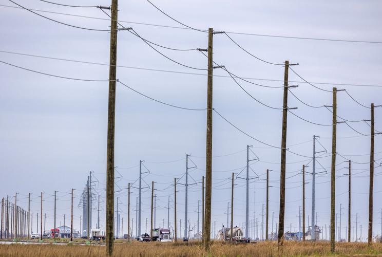
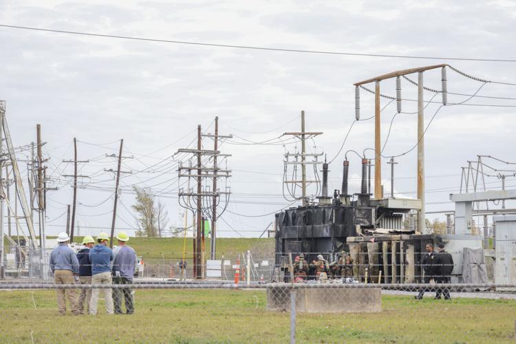

The strong winds and heavy rain associated with two waves of incoming severe weather has the potential to knock out power across the New Orleans metro, including in Jefferson and St. Tammany parishes.
Power companies keep the public informed of outages through interactive maps online.
Here's how to check for outages in your neighborhood from Entergy and Cleco.
For the latest on the severe weather, check out Nola.com's live updates.
- The green lines represent customers with power. Red lines mark outages.
- You can find your address by typing it into the search bar in upper center part of the screen.
- You can drag the map and zoom in or out using the magnifying buttons in the top right corner of the screen. You can also do this using your mouse wheel.
You can see how many customers are without power in each parish and ZIP code by clicking the links in the middle of the box on the left of your screen.
Cleco outage map
If Cleco is your Louisiana power provider, you can find its power outage map here. Here's how it works.
- The map has icons that show how many customers do not have power. You can hover over the icon to get more specific data.
- You search for your address in the top center of the page.
- You can toggle to grid view up top to see a list of outages per parish.
Baton Rouge Advocate editor Matt Albright contributed to this report.

